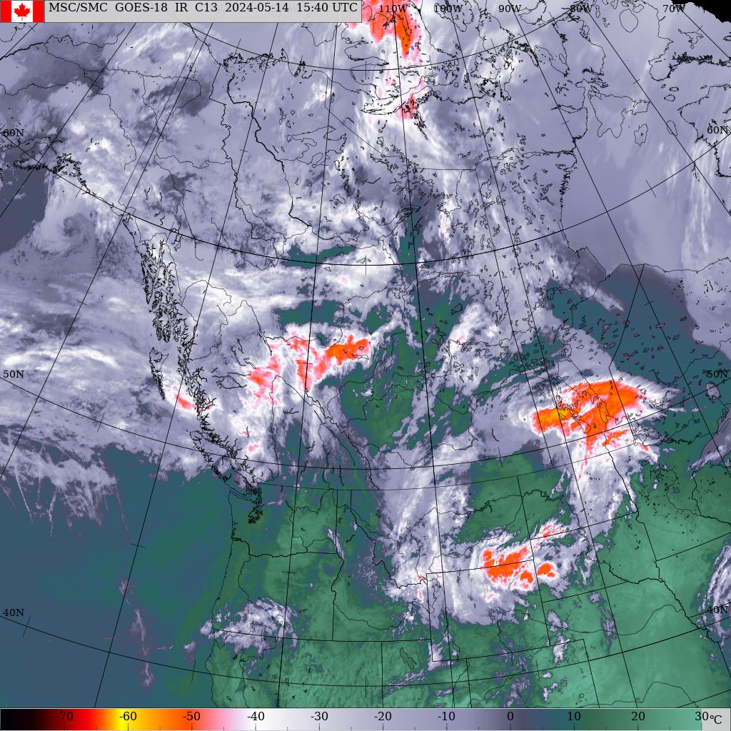
No watches or warnings in effect for Whitehorse, YT.

Updated: @ 04/09/2026 11:55 - next update at 11:56  
Summary / Temperature Wind Snow Outlook
Cloudy, Dry Cloudy, Dry
Currently: 3.3, Max: 3.3, Min: -1.7 3.3°C
Warmer 0.8°C than last hour.

---

Feels like: 2°C

24-hr difference
1.7°CWarmer 1.7°C than yesterday at this time.

  Today Yesterday
High: 3.3°C
11:39
7.3°C
17:02
Low: -1.7°C
07:39
-10.6°C
07:47
  Station* Low Station* High
Today: -16.7°C
2021
12.5°C
2016
Month* records: -32.4°C
2021
19.9°C
2020
  Month
to date
Month*
average
This month: -2.5°C
1.1°C
  Year
to date
All time*
Average: -13.3°C
-0.3°C
Low: -43.6°C
-49.5°C
High: 9.4°C
34.5°C
* This Station's Records Since 2009
 Wind from WNW WNW
5.4
Gust:
4.7 km/h
2 Bft - Light Breeze
Today: 13 km/h 11:52
Gust Month: 18.7 km/h April 5
Snow Today: 0.2 cm
Snow Yesterday: 0 cm
This Month: 2.2 cm
Winter Total: 172.7 cm
Snow Depth: 69 cm
1 snow day in April.
Tonight
Chance of showers (40%)
Chance of showers
Humidity & Barometer Almanac Moon
Humidity: 55 % Decreased 10.0% since last hour.
Dew Point: -4.9°C Decreased 1.5°C since last hour.
Barometer: 1014.2 hPa Falling 0.2  hPa/hr
Baro Trend: Steady
Sunrise: 06:58
Sunset: 21:04
Moonrise: 06:25
Moonset: 10:23
Waning Gibbous
Waning Gibbous, Moon at 21 days in cycle
57%
Illuminated
UV Index Solar Radiation
   0.2     Low 
High: 0.4 @ 10:03
104 W/m2 (19 %)
High: 164 @  10:26
 EC Weather Forecast  - Outlook: Today & Tonight
Today
Chance of rain showers or flurries (40%)
Chance of rain showers or flurries

Max: 4°C
EC forecast: Mainly cloudy. 40 percent chance of flurries early this afternoon then 40 percent chance of rain showers this afternoon. High plus 4. UV index 2 or low.
 
Tonight
Chance of showers (40%)
Chance of showers

Min: -5°C
EC forecast: Mainly cloudy. 40 percent chance of showers this evening. Wind up to 15 km/h. Low minus 5. Wind chill minus 10 overnight.